
 Русский
Multi-channel electro-prospecting streamer for marine engineering surveys
 The purpose of the development is to create a comprehensive technology of effective marine engineering surveys to minimize the risks in construction and operation of technical structures on the shelf: drilling platforms, gas pipelines, etc., which is achieved by studying the bottom sediment with a set of geophysical methods as well as by monitoring these facilities during the period of operation.
The result of the use of these technologies will be creation of an integrated geological and geophysical cross-section down to a depth of 500 meters. In association with seismic and echolocation data, the use of electrical exploration technologies will allow to identify such geo-electric heterogeneities in the upper part of the cross-section as gas pockets, gas hydrates, zones of permafrost and fault zones. (more…)
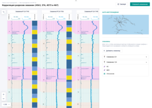 LLC “ActionSpace” within the Digital Design Group of Companies developed the Software Platform for automatic data processing of Well Logging (hereinafter WL) .